Until the 10th century, the area in the area of the current Maidan was called Perevesishche or Goat Swamp and was a swamp. Where Sofievskaya Street now begins, the Lyadsky Gate was located (mentioned in the chronicle of 1151 as the gate leading to the “land of the Pechenegs”; also through the Lyadsky Gate there was a path to Pechersky Monastery and Klov; the gate was part of a unified system of the defense line of ancient Kiev, built during the reign of Yaroslav the Wise in the 1030s), which led to the upper city (now Shevchenko district).
At the end of the 18th – beginning of the 19th century, on the site of the future square there was a wasteland with the remains of defensive ramparts overlooking it. The “Description of Kyiv” of 1868, compiled by the famous Ukrainian historian Nikolai Zakrevsky, mentions the market square in the middle of Khreshchatik, “from ancient times called the Goat Swamp.” Zakrevsky notes that the bazaar is located “near a tract called the Goat Swamp.” The historical plan of 1803 by city architect Andrei Melensky shows the site of an abandoned reservoir, designated “Goat Swamp”, it is located directly under the inner slope of the fortress rampart, between the current Shevchenko Lane, Malopidvalnaya and Patorzhinsky streets. For a long time, Shevchenko Lane was called Kozyebolotnaya Street or simply Kozinka.
Maidan Nezalezhnosti as a square was formed in the 1830s, when the remains of the defensive ramparts were demolished. At the same time, it received the name Khreshchatytskaya Square – from the name of the street to which it directly adjoined. In 1876, the City Duma building was built on the square, and it received the name Duma. In 1913, a monument to Stolypin was erected in front of the City Duma, which was dismantled after the 1917 revolution. In 1919, the square was renamed Sovetskaya, and in 1935 – Kalinin Square. In 1941, the Duma building (after the revolution it housed the Regional Committee of the Communist Party (Bolsheviks) of Ukraine) burned down, and the area of the square increased greatly due to the destroyed odd side of Khreshchatyk.
Mass demonstrations and protests on Maidan Independence
1. Performances in 1990 (Revolution on Granite)
2. Performances of 2000-2001 (Ukraine without Kuchma)
3. Performances of 2004-2005 (Orange Revolution)
4. Anti-government protests of 2013-2014 (Euromaidan)
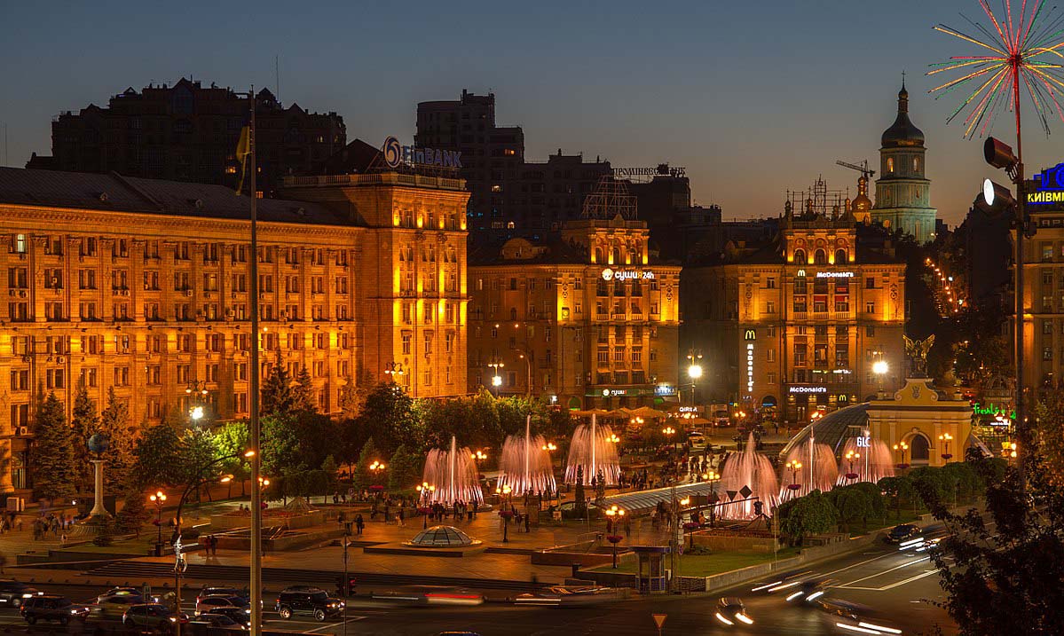
In 1944, a competition was announced for the best restoration project of Khreshchatyk, adjacent streets and squares. In these projects, Kalinin Square, now located on both sides of Khreshchatyk, was assigned the role of the main square of the city. The modern development of the square is formed by buildings from the 1950s – 1970s. In 1961, the building of the hotel “Ukraine” was erected (until 2001 – “Moscow”). In subsequent years, the square was repeatedly rebuilt and reconstructed. In 1977 it was renamed October Revolution Square. A monument to the October Revolution and an ensemble of fountains were built on it. The current name of the square was given after the declaration of independence of Ukraine in 1991.
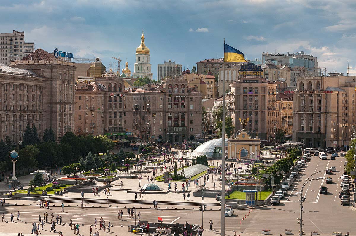
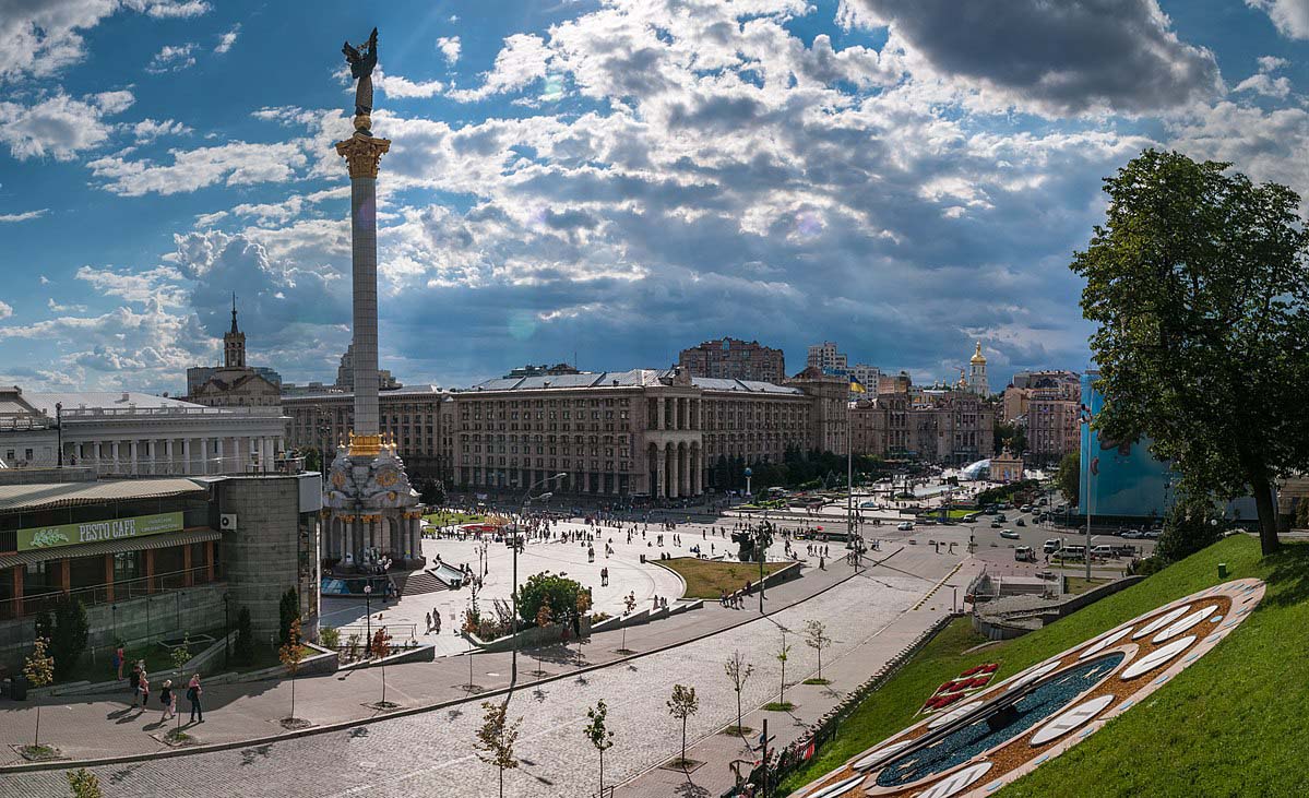
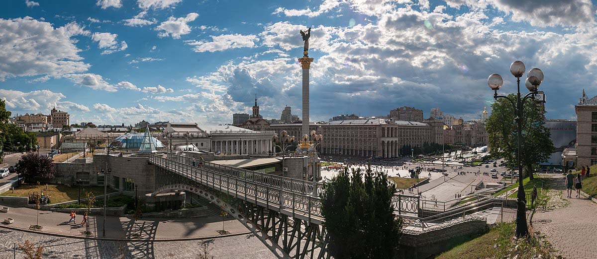
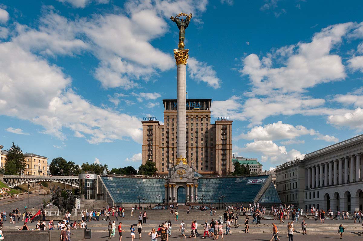
In 2001, a major reconstruction of the square was undertaken: many new monuments, sculptures and fountains appeared. In the center of the square there is a tall white column, which is crowned with the figure of a girl (Beregini) with a viburnum branch in her hands, symbolizing the independence of Ukraine. At a place close to the discovered remains of the ancient Lyadsky Gate, a monument was built in the form of a gate with the figure of the city’s patron, Archangel Michael, at the top. A large shopping center “Globus” was built under the square. In 2015, another reconstruction took place to replace the paving stones. This was caused by damage to it during the “revolution of dignity”, which lasted from November 2013 to February 2014. In 2017, during the reconstruction of the fountains, the latest equipment was installed – now they are considered musical.