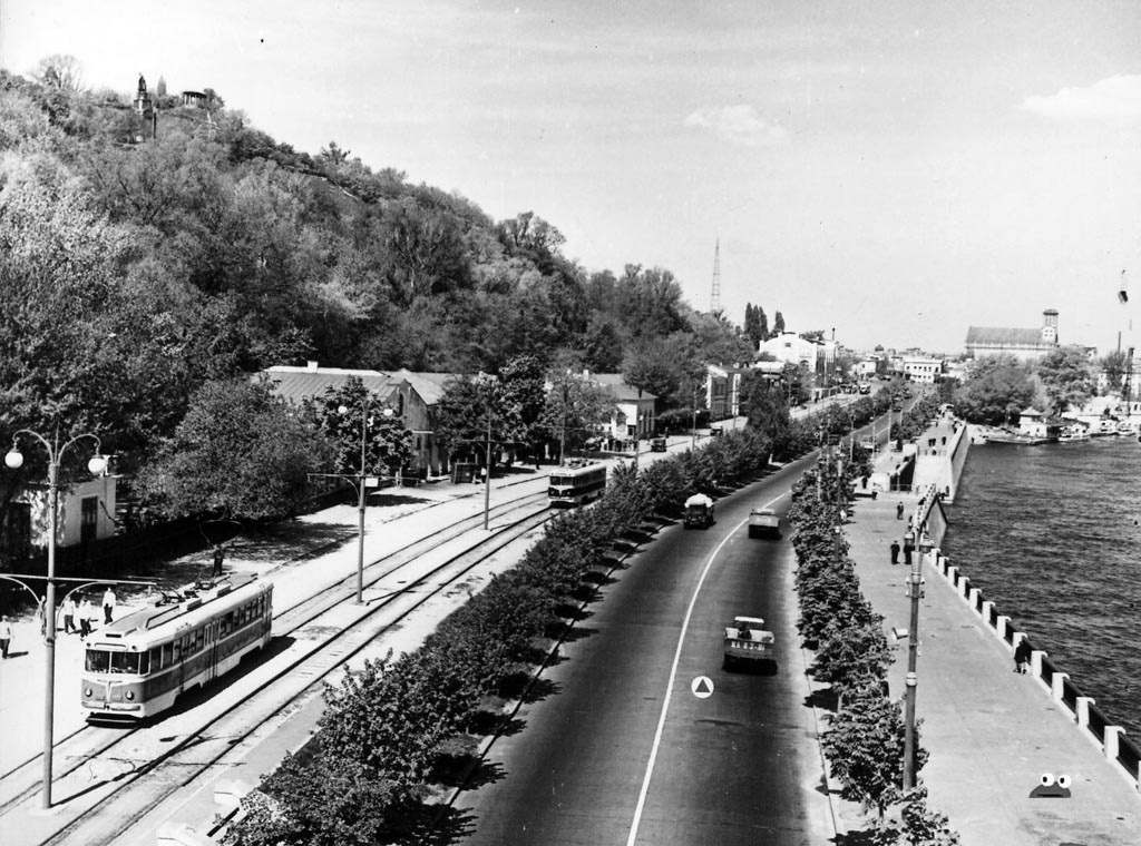
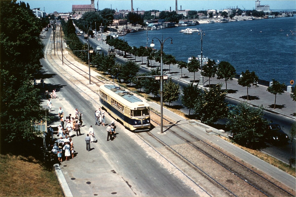
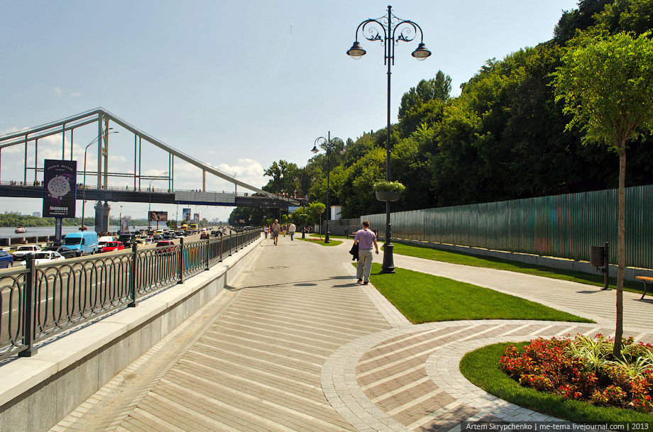
Who of you reading this article now remembers that trams ran along the Paton Bridge?… Or that you could take a breeze along the embankment from Motherland to Kontraktova Square? By the way, this tram line on the Dnieper embankment was the only one in Ukraine along the river bank and was very reminiscent of seaside cities.
The Kiev authorities methodically destroyed tram routes until recently, when officials came to their senses a little and began, if not to close tram traffic, then at least to preserve the existing routes. Therefore, now, unfortunately, we can only talk about the tram on the Dnieper embankment and show what it looked like in photographs, and for those who like walking, we can invite you to take a walk along the former tram tracks and understand what Kiev really lost by losing such a tram route…
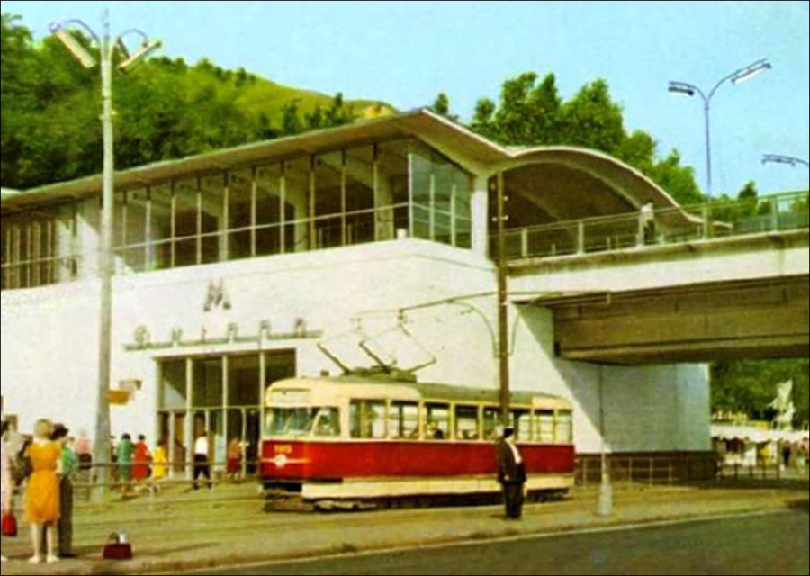
From November 1, 1954 (one year has passed since the Paton Bridge was opened) and until June 9, 2004, a tram line ran along it, which connected the Left and Right banks of Kyiv. Until the reconstruction of the Paton Bridge in 2004, it was one of the most important and busiest tram lines in the city. Tram number 31 ran here (since 1959) from Rembaza to Kontraktovaya Square. Along the route he had Darnitsky Station, Leningradskaya Square, Rusanovka, Vydubitsky Monastery, the Motherland statue and WWII Museum, Dnepr metro, Trukhanov Island, Metro bridge, funicular, River Station and Poshtova Square. And from Rusanovka to Bessarabka, tram No. 35 ran from 1970, and in 1985 the route was extended to the central railway d station.
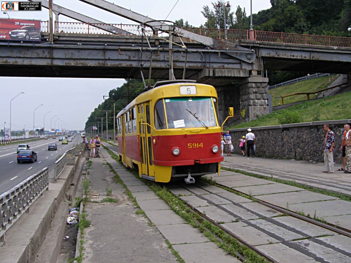
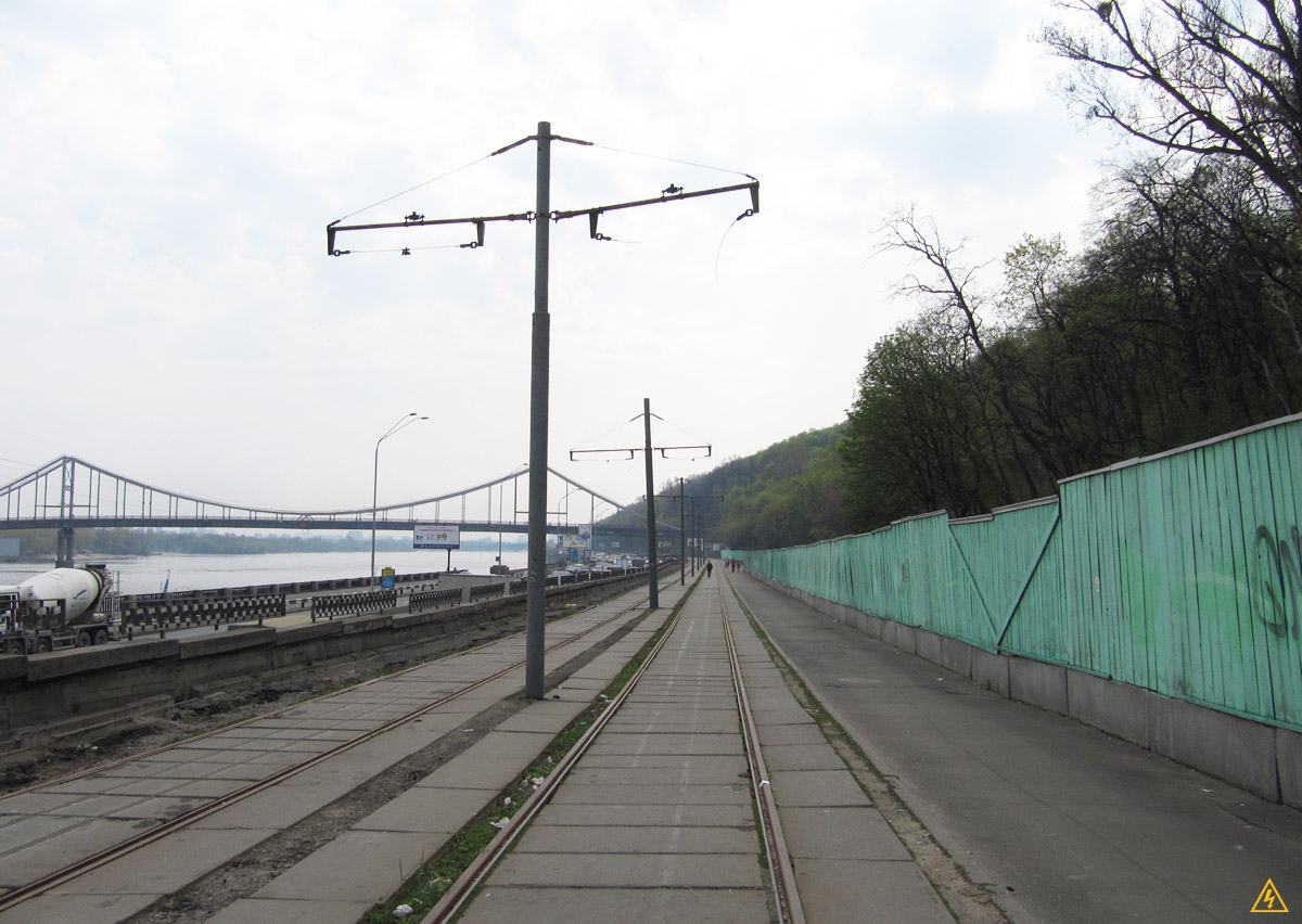
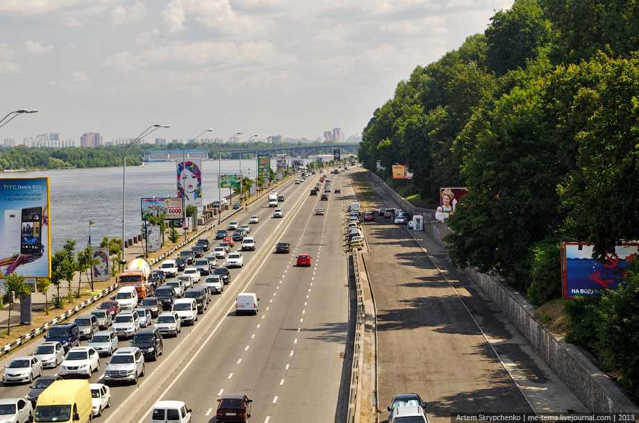
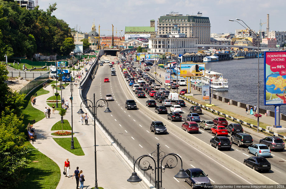
The reconstruction of the Paton Bridge involved the dismantling of tram tracks, and instead of them a trolleybus line was designed, which turned out to be unable to carry the passenger flow of the tram route for the simple reason that it did not repeat the route of rail transport from beginning to end – transfers were necessary. As a result, the Kyiv tram system was divided into 2 networks: the left bank and the right bank. Only tram No. 5 began running along Naberezhnoe Highway.
This is interesting!
1. The length of the route of tram No. 31 was 34 kilometers, the return trip took 1.5-2 hours.
2. The length of the route of tram No. 5 was 14 kilometers, the return trip took 40 minutes to 1 hour.
3. A tram-café also ran along the Dnieper embankment, where various entertainment events were held.
Due to the reconstruction of Naberezhnoe Highway and its expansion, on February 23, 2011, tram route No. 5 was closed forever. This was the last section of the longest tram route in Kyiv, which existed for more than 60 years. On its last trip, the Pyaterochka carried about 20 passengers, the driver slowly turned off the lights in the cabin and the carriage set off on its last journey along the route – to the depot. In the summer of 2013, during the reconstruction of the staircase near the Column of Magdeburg Law and the monument itself, the remains were dismantled tram tracks.
Where was the tram on the Dnieper embankment?
The map shows the location of the former turning circle (terminal) of tram No. 5